The Glove Compartment Atlas
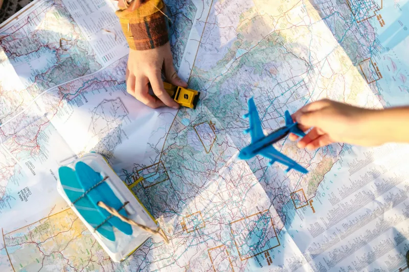
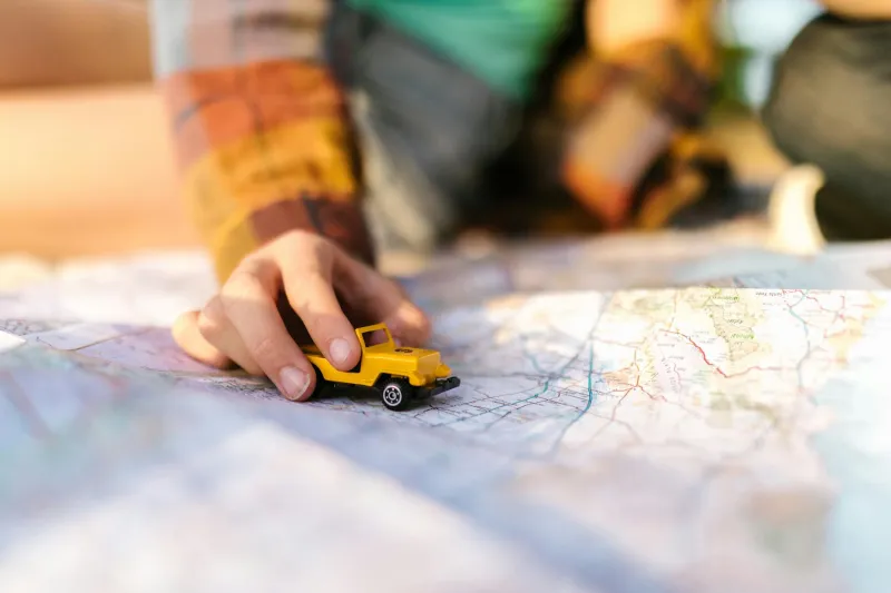
Every American car in 1985 carried the same essential equipment: a worn Rand McNally road atlas with coffee stains on the cover and dog-eared pages marking favorite routes. These thick books of folded maps were passed down through families, annotated with handwritten notes about good diners, scenic detours, and roads to avoid during winter.
Planning a road trip meant spreading these maps across the kitchen table, tracing possible routes with your finger, and having genuine debates about whether to take the interstate for speed or the state highways for scenery. The journey began long before you turned the key.
When Gas Stations Were Navigation Centers
Pull into any Texaco or Shell station in small-town America, and you'd find more than just fuel. The attendant — yes, there was always an attendant — could provide detailed directions to anywhere within a hundred-mile radius. These local experts knew every back road, construction zone, and shortcut in their territory.
"You want to get to Springfield? Take Route 9 west about fifteen miles, turn left at the big red barn — you can't miss it — then follow the signs to Millerville. Skip the main highway; it's all torn up this time of year."
These conversations were part of the travel experience. You'd learn about local landmarks, family-owned restaurants, and scenic overlooks that no guidebook mentioned. Getting directions was getting a personalized tour guide.
The Art of Reading the Road
Navigating without GPS required skills that seem almost mystical today. Experienced drivers could dead-reckon across unfamiliar territory using the sun, mountain ranges, and the general flow of traffic. They understood that odd-numbered interstates run north-south, even numbers go east-west, and that mile markers count up as you head north or east.
Most importantly, they knew how to read the landscape for clues. Heavy truck traffic usually meant you were near a major highway. Radio tower lights on distant hills indicated cities. The quality of road maintenance often revealed whether you were on a important route or heading into the middle of nowhere.
When Wrong Turns Led to Right Places
Getting lost wasn't the disaster it feels like today — it was often the highlight of the trip. Without the anxiety of knowing exactly where you were every second, drivers were free to follow interesting signs, explore promising side roads, and stumble onto discoveries that no algorithm could predict.
Some of America's most beloved roadside attractions were found by accident: the world's largest ball of twine, family-owned diners serving pie that would make your grandmother weep, scenic overlooks with views that belonged on postcards. These serendipitous discoveries became the stories families told for decades.
The Social Navigation Network
Before smartphones, navigation was a social activity. Passengers served as co-pilots, reading maps aloud and watching for landmarks. "Keep an eye out for a white church with a tall steeple — that's where we turn."
Stopping for directions meant actual human interaction. You'd pull into a diner, approach a local resident, and get not just directions but recommendations. "If you're heading that way, you've got to stop at Miller's Farm Stand. Best sweet corn in the county."
These brief encounters with strangers were part of what made road trips memorable. Every journey involved a dozen small conversations with people you'd never see again but who helped shape your adventure.
The Anticipation of the Unknown
Modern GPS removes all uncertainty from travel. You know exactly how long your trip will take, which lane to be in, and when you'll arrive. This precision eliminates stress, but it also eliminates surprise.
In the pre-GPS era, every trip carried genuine uncertainty. Would you find that restaurant your cousin mentioned? Would the scenic route actually be scenic? Would you discover something completely unexpected along the way? This uncertainty was part of the appeal — travel felt like exploration, not just transportation.
The Death of Serendipity
Today's navigation systems optimize for efficiency above all else. They calculate the fastest route, avoid traffic, and deliver you to your destination with minimal deviation. This efficiency comes at a cost: the elimination of happy accidents.
GPS doesn't suggest that you take the slightly longer route because it passes through a charming historic district. It doesn't know about the roadside stand selling fresh peaches or the scenic pullout with the perfect sunset view. It gets you there, but it doesn't help you discover anything along the way.
When Maps Were Conversation Starters
Unfolding a paper map in public was like sending a signal: "I'm not from around here, and I could use some help." Locals would approach with advice, corrections, and stories about the places you were planning to visit.
These interactions created temporary communities around the simple act of finding your way. In rest stops and diners across America, strangers would lean over your table to point out better routes, warn about construction delays, or share insider knowledge about hidden gems.
The Skills We Lost
Entire generations of Americans developed navigation abilities that seem superhuman today. They could estimate distances by eye, maintain their sense of direction even after multiple turns, and create mental maps of unfamiliar territories.
More importantly, they were comfortable with uncertainty. Being temporarily lost wasn't cause for panic — it was just part of the adventure. They trusted their ability to figure things out, ask for help when needed, and eventually find their way.
What GPS Can't Calculate
Modern navigation systems excel at answering "How do I get there?" but they can't address the more interesting question: "What might I discover along the way?" They optimize for time and distance but ignore the human elements that made travel meaningful.
The most memorable road trips weren't necessarily the most efficient ones. They were the journeys that included unexpected detours, chance encounters, and discoveries that couldn't be programmed into any device.
The Road Less Calculated
Your smartphone can guide you anywhere with turn-by-turn precision, but it can't recreate the adventure of unfolding a map on the hood of your car, debating routes with your travel companions, or stumbling onto a perfect sunset because you took a wrong turn fifty miles back.
In our rush to eliminate the uncertainty from travel, we may have also eliminated much of what made getting there worthwhile. Sometimes the best destinations are the ones you never planned to find.